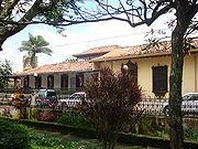
Heredia, Herédia, Costa Rica
Suggest Place to Visit
2428
Track to location with GPS |
 |
The city arose around a parish help at the beginning of the 18th century with the name of Cubujuquí. In 1763 it was given the official name of Villa de Heredia, but the title of town was revoked in 1779. It was popularly known as Villa Vieja, but this practice was prohibited by the authorities in 1801. The Spanish Cortes again granted the title from a town in 1813. It is also popularly known as ´´The city of flowers´´, for its landscape and its beautiful women.
From December 1821 to April 1823, the town of Heredia, which supported the unconditional annexation to the Mexican Empire, was separated from Costa Rica and voluntarily submitted to the authorities of León, Nicaragua. In April 1823 she voluntarily rejoined Costa Rica and refrained from sending deputies to the Constituent Congress convened by the new authorities of León after the fall of the Empire.
On November 11, 1824, during the government of the first Head of State Juan Mora Fernández, the Constituent Congress of Costa Rica granted Heredia the title of city.
In August 1835, when the so-called Ambulance Law was repealed, Heredia became the headquarters of the Legislative and Conservative Powers and capital of the State of Costa Rica, although the Executive and Judicial Powers were located in the city of San José.
Center of Heredia. In the second Costa Rican civil war, called War of the League, which confronted San José with the uprising of Cartago, Alajuela and Heredia, it played a significant role, since one of the main residents of the city, Nicolás Ulloa Soto, was proclaimed Dictator of the League and formal head of the insurgents. The Heredian and Alajuelense troops occupied the Murcielago plain, north of San José, but withdrew from there when they learned that the Josefinos had taken Cartago. Shortly thereafter, Josefinas troops crossed the Virilla River, quickly defeating the rebels, and occupied Heredia and Alajuela. Despite these facts, Heredia retained the status of capital of Costa Rica until 1838, the year in which the Head of State Braulio Carrillo Colina in fact concentrated all powers in San José.
TERRITORIAL ADMINISTRATIVE DIVISION
Creation and origin
The Political Constitution of November 30, 1848, in article 8, establishes for the first time the names of province, canton and parochial district.
In accordance with the previous provision, in Law No. 36 of December 7 of the same year, in Article 7, Heredia was created as canton number one in the province of the same name, with seven parish districts.
In such a way Heredia comes from the aforementioned province.
PHYSICAL ASPECTS
geology
The Central part of the canton of Heredia is geologically constituted by rocks of volcanic origin, such as lavas, tuffs and pyroclasts; from the Holocene, Quaternary period.
The northern part of the Heredia canton, which corresponds to the Varablanca district, is also made up of materials from the aforementioned period; where rocks of volcanic and sedimentary origin are found. The volcanic ones belong to recent and current Volcanic Buildings, and associated Pyroclastic, which comprise the largest surface in the region; and to Volcanic materials, such as lava, tuff and pyroclasts, located north of Cerro Chompipe. The sedimentary rocks correspond to Fluvial and Colluvial Deposits, located northeast of the district, on the banks of the Patria and General rivers, near their confluence with the Sucio River.
Geomorphology
The southern part of the canton of Heredia is part of the Volcanic Origin unit, represented by the Central Valley Volcanic Fill, which corresponds to a flat undulating relief.
The unit is formed on the surface by volcanic rocks, mainly lavas, tuffs and ignimbrites covered by ash in a variable thickness. The sequence of lavas rests on sedimentary rock, the lavas are of the andesitic type. Geomorphologically, this unit is not a valley, however for political, socio-economic and all kinds of reference it is considered preferable to continue calling it the Central Valley. The correct technical name is rift valley; due to the presence of a fault along the entire foot of the Central volcanic mountain range, which is evidenced by the existence of thermomineral sources; as well as the abrupt and aligned interruption by the supposed fault of the foothills that descend from the mentioned sierra towards the valley; as well as by the presence of an unexplained volcanism (Pacacua Formation), in correspondence with the position of the fault or near it.
The northern part of the canton of Heredia, which corresponds to the 5th Varablanca district, is part of the Volcanic Origin unit, which is divided into two subunits, called Barva Volcano and Poás Volcano.
The Barva Volcano subunit constitutes most of the district, except for the sector adjacent to Villa Varablanca, it corresponds to the Barva volcano massif, the highest part belongs to the aforementioned volcano, which is 2,906 meters above sea level, its slopes have slopes Very varied, the area that corresponds to the Patria river basin, shows a dominance of slopes of more than 45 °, at the top of the volcano there are about ten small cones and craters, some of the largest craters are occupied by lagoons such as Danta and Barva lagoons, the first is 500 meters in diameter and is the largest crater in the area, it is composed of old lavas with a tendency to be basaltic and the most recent ones are more andesitic, likewise there are all kinds of volcanic rocks such as lavas, agglomerates and pyroclasts, their origin is mainly due to volcanic activity, the area that corresponds to the basins of the Patria and General rivers, presents clear evidence of strong erosion, in the In the last basin, there is an escarpment with a height of 100 to 300 meters and slopes of 50 ° and it is possible that this escarpment is due to a collapse of the area as a result of the internal vacuum left by the large amount of material released by the volcano during its periods of activity, the Chompipe, Delicias, Tibás, Turú, Caricias, Zurquí, Achiotal and Cacho Negro hills are manifestations of this activity. The Poás Volcano subunit is located in the sector adjacent to Villa Varablanca; This subunit corresponds to the massif of the same name, it is the largest in the country, it has slopes with all kinds of slope, in this subunit there are all kinds of volcanic rocks, mainly of andesitic composition, its shape is due to the volcanic activity that has sustained for several centuries, where erosion affects it in certain places, but its current form is exclusively the result of the accumulation of different lava flows and pyroclasts.
Altitudes
The elevations, in meters above mean sea level, of the urban center of the canton's districts are as follows:
Ciudad Heredia 1,150, Villa Mercedes Norte 1,130, Villa San Francisco 1,124, Villa Barreal 1,003 and Villa Varablanca 1,804.
Hydrography
The fluvial system in the southern part of the canton of Heredia corresponds to the Pacific slope, which belongs to the Río Grande de Tárcoles basin.
The rivers that drain the area are the Virilla, Bermúdez with its tributaries the Pirro River and the Guaria Quebrada, as well as the Burío River with its Quebrada Seca tributary. La Quebrada Guaria is born in the region. These watercourses have a course from east to west and northeast to southwest. The Burío river, together with the Quebrada Seca, constitute cantonal limits; the first with Flores and the second with Barva; the same as the Virilla river, with the canton of San José, of the province of the same name.
The fluvial system in the northern part of the canton, which constitutes the Varablanca district, corresponds to the North subvertient, of the Caribbean slope, which comprises the basins of the Sarapiquí and Chirripó rivers.
The first is drained by the Sarapiquí River, with its tributaries the Volcán, San Fernando, and San Rafael rivers; as well as the General, Sardinal and Mollejón rivers. These rivers are born in the canton, on the slopes of the Barva volcano and Cerro Cacho Negro; which go from southeast to northwest and from southwest to northeast. The Volcán, Sardinal and General rivers are limits with the Sarapiquí canton. The Barva lagoon is also in the area.
The Chirripó river basin is irrigated by the Patria river, with its tributaries the Nuevo and Calderón Muñoz rivers. These water courses are born in the district, in the Chompipe, Delicias, Tibás, Turú, Caricias, Zurquí and Achiotal hills; which present a course from northwest to southeast, and from southwest to northeast. The Patria river is on the border with the Vázquez de Coronado canton, in the province of San José.
The city of Heredia has several attractions such as its historic center mainly composed of the Argentine Republic School, the Post Office and Telegraph building, La Casa de la Cultura, La Inmaculada church, the fort and the Liceo de Heredia building. These properties are on the same line that runs approximately 300 meters.
Heredia is home to Café Britt, one of the most recognized coffee producing companies nationwide. Its headquarters located in the district of Mercedes, north of the city, organizes tours for national and international tourists who want to know the process and manufacture of coffee while they can taste its products such as drinks, chocolates, coffee liqueurs, etc. It also has an amphitheater where cultural works are presented.
The city has several shopping centers and squares. The most distinguished are the Paseo de las Flores Shopping Center, located to the south of the city that has more than 190 commercial premises offering a wide variety of stores, accessories, shoe stores, household items, department stores, gastronomic services, among others. There is also the Mall Real Cariari Shopping Center, which opened its doors to the public on December 8, 1995 and is located on one of the busiest and most vital highways in the Greater Metropolitan Area; located west of Heredia, it is in a strategic area due to its proximity to the best business complexes, free zones, residential developments, the most recognized hotels in the country and very close to the Juan Santamaría International Airport.
Heredia has been characterized by the great development of free zones and a large number of industries in its surroundings located mainly in the La Aurora de Heredia sector to the west of the city. Its main free zones are Global Park, which has 23 companies, including Sykes, IBM, Hospira, Boston Scientific, Baxter America Services, etc. Another free zone is Ultra Park located in front of Global Park. Ultra Park has both Costa Rican and foreign companies mainly specialized in the field of electronics, software, communication and information services, medical and pharmaceutical industries. Within its area are companies such as Hewlett-Packard, Pfizer, Roche, Wal-Mart, among others.
Comments
We don´t have yet any comments about:
Heredia
Heredia
Be the first to leave a comment as it is very important to inform other people
Outros locais a visitar
Within a radius of 20 km from:Heredia
Barva |
| 3,2 Km |
 |
Pacuare |
| 3,7 Km |
 |
Santo Domingo |
| 4,2 Km |
 |
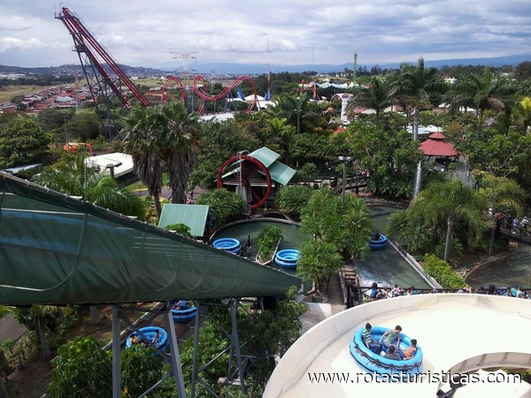
Water Land |
| 5,4 Km |
 |
Santa Barbara |
| 6,6 Km |
 |
COLYPRO |
| 6,9 Km |
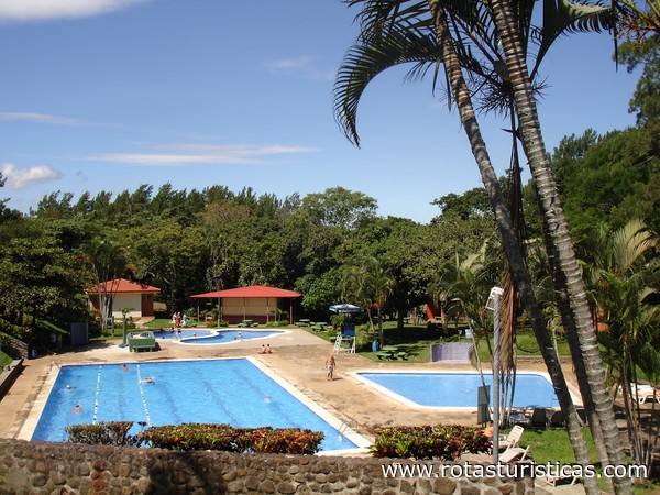 |
Club Campestre Español |
| 7,6 Km |
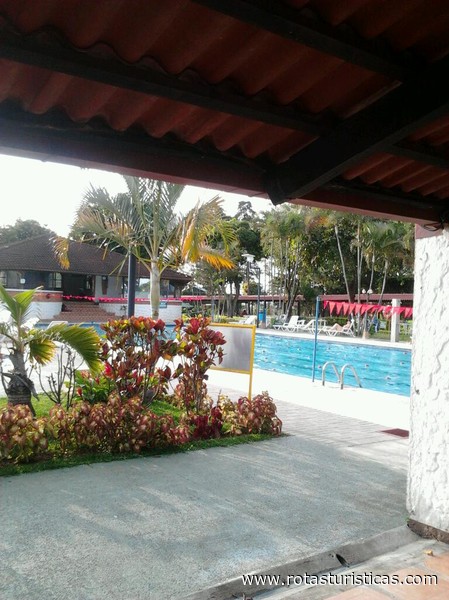 |
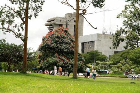
La Sabana: il Parco della Costa Rica |
| 7,6 Km |
 |
San Jose |
| 7,7 Km |
 |
Escazú |
| 8,2 Km |
 |
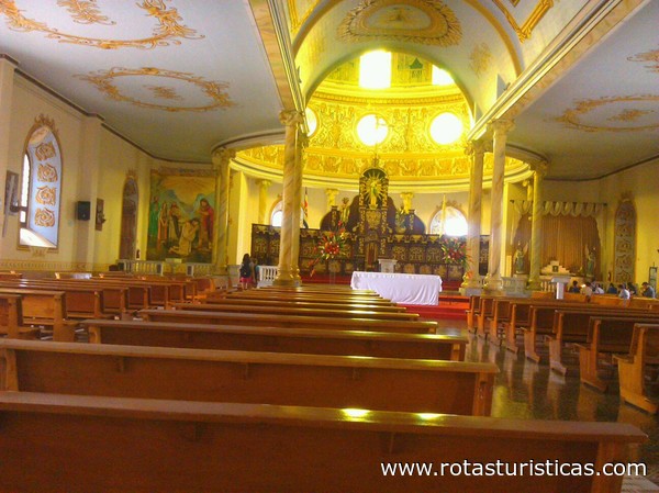
Catedral de Alajuela |
| 10,5 Km |
 |
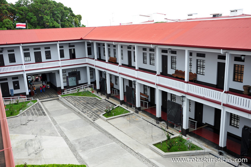
Museo Histórico Cultural Juan Santamaría |
| 10,7 Km |
 |
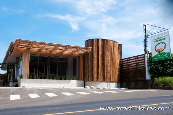
Souvenir Museum Verdes y Colores |
| 11,2 Km |
 |
Fossil Land |
| 16,2 Km |
 |
Parque Recreativo Los Manantiales |
| 16,8 Km |
 |
Hotel reservation near Heredia within a radius of 20 km
Why to book with ROTTA TURISTICA
The best prices
Our partnerships with the world´s largest operators offer research on the best market prices.
More options
At Rotas Turisticos you can book the hotel, buy the air ticket, book the transfer from the airport to the hotel and vice versa, book the local excursions, rent the car, take travel insurance and consult the places to visit and where to go.
Holiday Tips & Destinations
Hundreds of holiday destinations with all the options that allow you to easily choose the destination that best suits your dream vacation.
ROTTA TURISTICA
Links


